Extension Services
Geographical Information System & Remote Sensing
Register
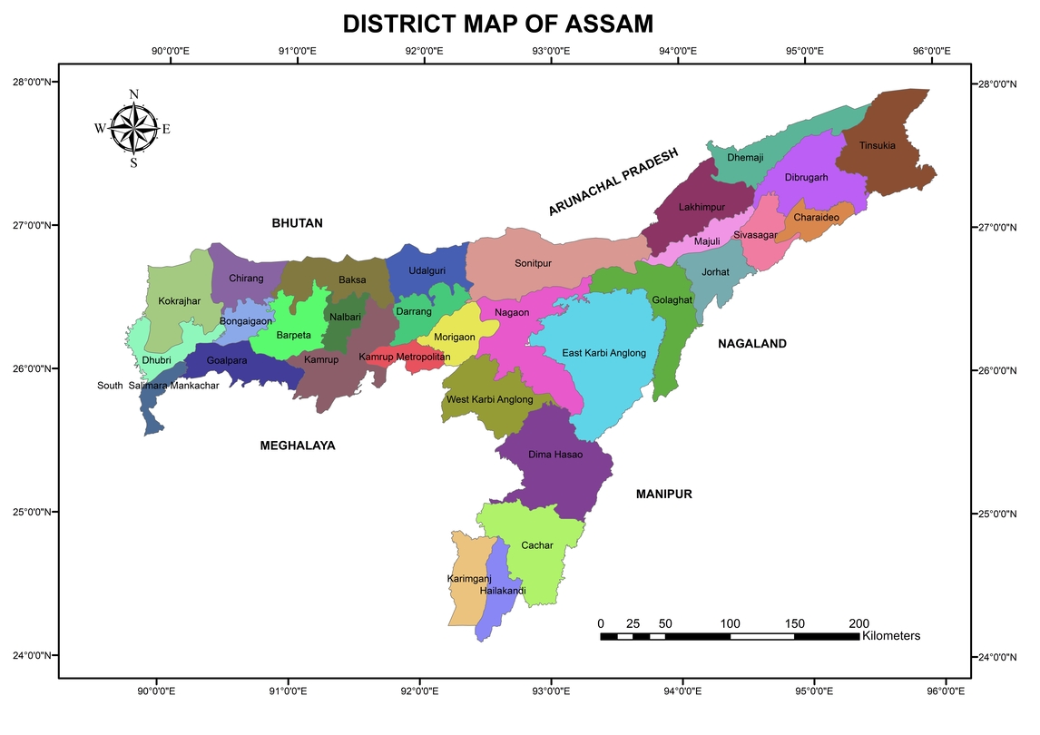
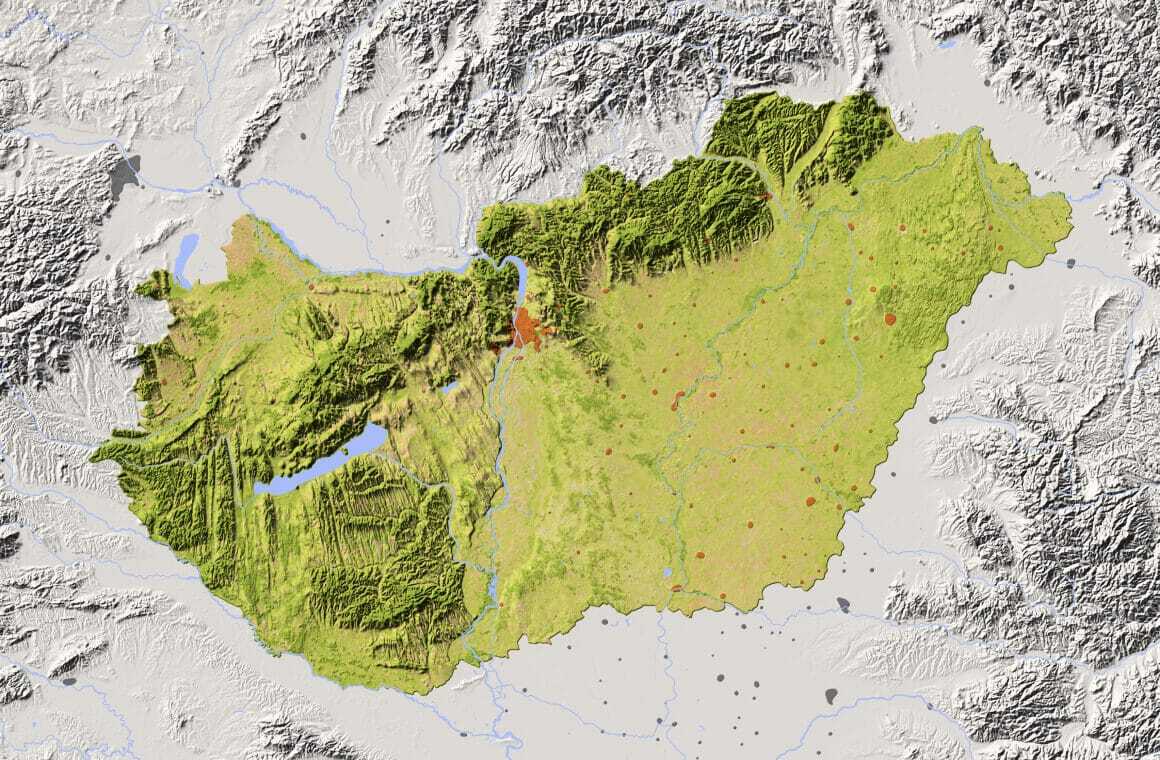
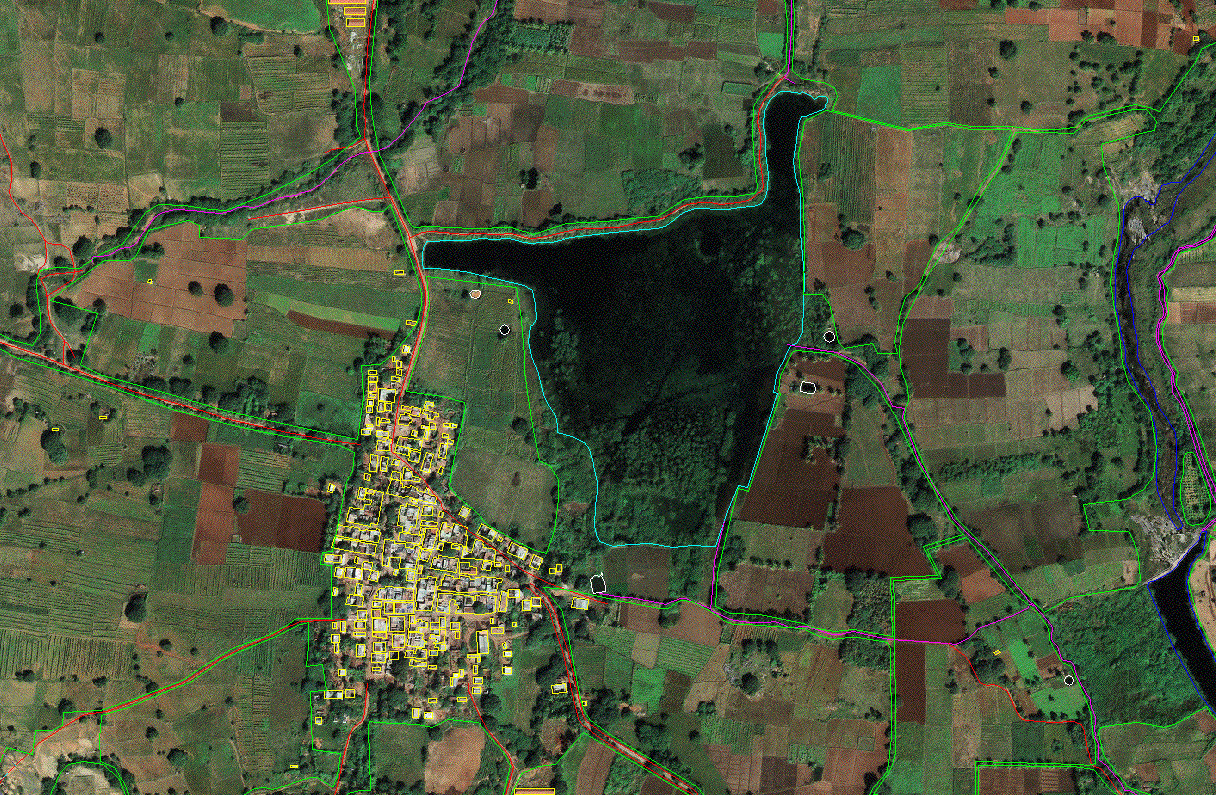
This course covers the practical aspects of remote sensing and GIS and Remote sensing. It is entirely hands-on, and the participants learn through a series of exercises that become progressively more challenging and more specific to different disciplines. By the end of the course, the participant will be familiar with key remote sensing and GIS software and will have learned their fundamental tools along with their implications.


Introduction to GIS (বাংলায় )
How to create basic map in ArcGIS? (বাংলায়)
Moni Orchid Apartment, 1st Floor, Phase 1, Nayabad, Kolkata- 700099, West Bengal, India
